About
Pepeha
Ko Waikato te awa.
Ko Taupiri te maunga.
Ko SS Remutaka te waka.
Nō Airani, nō Wēra, nō Kōtirana ōku tīpuna.
I tipu ake au i Waikato.
Kei Te Awakairangi, Te Whanganui a Tara au e noho ana.
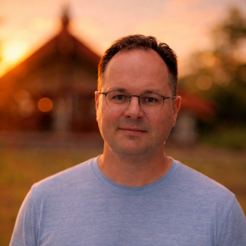
Ko Duane Wilkins tōku ingoa.
Ko wai au
He mātanga matawhenua au, he kaiwhakahaere kaupapa hoki, e mahi ana ki Te Whanganui a Tara. Kua roa au e mahi ana i te ao mapi me te GIS mai anō i te mutunga o ngā tau 1990.
Ko taku mahi he āwhina i ngā rōpū Māori kia whakamahia pai te raraunga matawhenua mō te whakatau kaupapa, mō te whakamahere, me te tiaki i te taiao. Ka tautoko au i te hanga mapi, te whakahaere raraunga, me te whakatakoto tikanga kia noho haumaru te mōhiohio, kia ū hoki ki te kaupapa me te mana o te iwi, o te hapū.
He mea nui ki ahau te whakawhanake pūkenga. Ka whakahaere au i ngā wānanga me ngā whakangungu kia taea e te rōpū te mahi i ā rātou ake mapi me ā rātou ake raraunga, kaua e noho whakawhirinaki tonu ki te tangata o waho. Ka aro hoki au ki te kounga o ngā mapi, te mārama o ngā kōrero, me te āhua o te tohatoha, kia tika te whakamahi, kia tika hoki te horapa.
about me
I am a geospatial professional and project manager living with my family in Wellington, New Zealand. I have worked with geography, mapping, and geographic information systems since the late 1990s. My focus now is sharing the practical use of geospatial information to support decision making, planning, and communication, with an emphasis on building capability so teams and people can do the mahi on their own.
Māori GIS kaupapa
A significant part of my work since the late 1990s has been supporting iwi and hapū to prepare, present, and settle historical grievances, including work for Waitangi Tribunal hearings and related kaupapa. This has included supporting research and evidence packs, and providing evidence at hearings, helping teams organise and explain complex whenua and resource histories, preparing maps and visual material for hearings, including introducing the use of 3D flythroughs and supporting the shift into post settlement mahi. I have delivered workshops and wānanga on health and environmental project planning and delivery, and practical mapping workshops that build capability for kaitiakitanga and day to day decision making.
This work has involved supporting and working with groups including Te Aupōuri, Ngāti Hau, Te Rarawa, Ngāpuhi, Ngāti Maru, Ngāti Ranginui, Ngāi Te Rangi, Te Arawa, Ngāti Awa, Tūhoe, Whakatōhea, Te Whānau-ā-Apanui, Ngāti Porou, Ngāti Ruapani, Ngāi Tāmanuhiri, Ngāti Kahungunu, Ngāti Kahungunu ki Wairoa, Ngāti Kahungunu ki Heretaunga, Ngāti Kahungunu ki Wairarapa, Ngāti Tūwharetoa, Ngāti Raukawa, Rangitāne, Ngāti Toa Rangatira, Te Āti Awa, Ngāti Apa, Muaūpoko, Ngā Ruanui, Ngā Rauru, Ngāti Ruahine, Ngāti Hauā, Taranaki, Ngāti Mutunga, Ngāti Tama, Ngāti Maniapoto, Ngāti Mahuta, Ngāti Whātua, Ngāti Whātua Ōrākei, Ngāti Koata, Ngāti Rārua, and Ngāti Kuia.
What I do
I help organisations move from one off maps to repeatable workflows, clear data management, and outputs people can trust in hui, governance settings, and operational planning.
This work commonly includes:
- turning questions into mapping workflows that others can repeat
- setting up tidy data structures, metadata, and versioning habits
- building clear map products for governance, funding, planning, and operations
- choosing sensible tools and keeping it practical for the team using them
Training and workshops
A big part of my mahi has been teaching, training and mentoring and providing support. At present I am not currently available to provide onsite training workshops due to work commitments. I have delivered many hundreds of training workshops to Māori, government and communities throughout the motu, however my training work is delivered online through Ngā Poutama Matawhenua Practical Māori GIS Mapping Wānanga via Toitū te Whenua LINZ.
Experience
I have worked across central government, local government, and community focused projects in Aotearoa. I have also worked internationally in Iraq and Afghanistan in project management roles for USAID. That experience shaped how I approach complex programmes, delivery under constraints, and working with diverse teams where clarity, good process, and careful communication matter as much as technical skill.
I have worked for agencies and organisations including the Department of Conservation (DOC), Land Information New Zealand (LINZ), and the Crown Forestry Rental Trust. Across these roles I have supported mapping and data work that helps people understand place, manage risks, plan investment, communicate options, and deliver projects with confidence.
Why this guidebook exists
I am enjoy sharing knowledge to support iwi, hapū, Māori trusts, incorporations, and rūnanga to use GIS in ways that respect their whenua, taonga, and their mātauranga. This includes practical mapping for planning, visualising information for hui, and supporting long term kaitiakitanga through better understanding of place, with clear permissions and safe sharing.
This guidebook is designed to make GIS less intimidating and more useful. It is not academic and it is not software documentation. It is written to help people get started, understand responsibilities, and apply GIS to real world mahi in a clear and practical way. You will want to combine this material with video on YouTube, and for software tutorials.
Based in Wellington
I am based in Wellington and work with teams across Aotearoa. Outside of work I enjoy photography, DIY, carpentry, and learning about A.I.